

Snow squalls across parts of Ontario this weekend
- Weather Desk

- Dec 12, 2025
- 1 min read
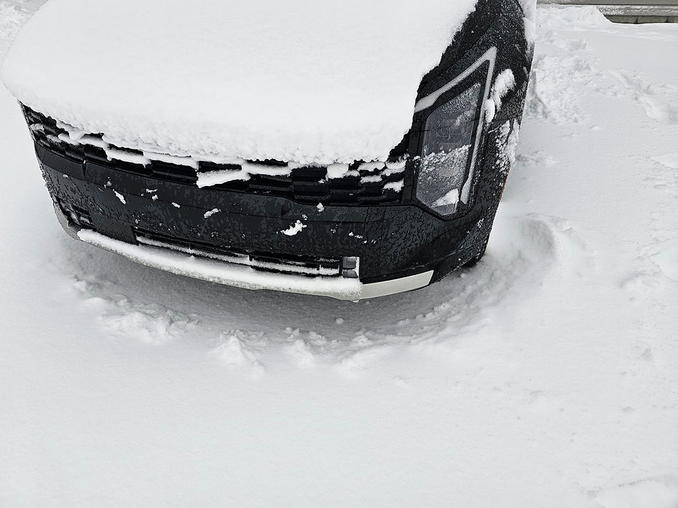
Ontario is bracing for more snow squalls this weekend as a series of snow squalls move across parts of the province.
Areas east of Georgian Bay and the northern Bruce Peninsula are expected to see the most severe snowfall, with 25 to 40 centimetres forecast. Westerly winds gusting up to 60 km/h will create blowing snow and whiteout conditions at times.
Further south and east, including communities east and southeast of Lake Huron, Georgian Bay and the southeastern tip of Manitoulin Island, lake-effect snow squalls are expected to develop Saturday morning and continue into Sunday. These areas could see up to 30 cm of snow, along with local blowing snow as northwesterly winds gust to 50 km/h.
Snow squalls will also persist east and southeast of Lake Superior, where 15 to 25 cm of snow is possible through Saturday evening. Winds gusting up to 60 km/h may further reduce visibility.
Comments