

Powerful Storm to Slam Atlantic Canada
- Kyle Brookings

- Feb 27, 2020
- 2 min read
A powerful area of low pressure that continues to pound Ontario and Quebec will also bring stormy weather to Atlantic Canada.
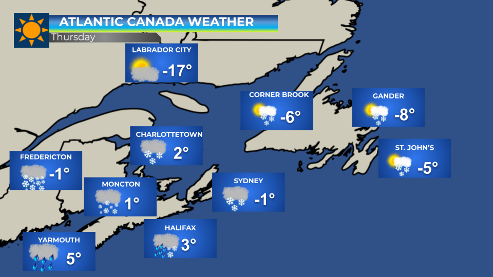
Heavy snow, heavy rain, strong winds, and blowing snow are all on the horizon. The storm starts either today or tonight (depending on where you are) and will last through Friday.
New Brunswick

Heavy snow is expected today, the heaviest snow is expected in western and central areas of the province. In total, 15 to 30 centimetres are expected. Lesser amounts are expected along the Fundy coast. There will also be strong winds. Overnight tonight, snow may change to ice pellets along the Fundy coast.
Prince Edward Island

Heavy snow is strong winds are expected to begin this evening. About 10 to 15 cm of snow is expected, except for Prince County where up to 25 cm is possible. There will also be strong wind gusts.
Nova Scotia

Rain and snow will move across Nova Scotia today and tonight. For southern sections, rain is expected 15 to 30 mm of rain is expected. The remainder of the mainland will see a rain-snow mix. Cape Breton Island will see snow with up to 25 cm possible. All areas will experience strong winds. Winds may gust to 170 km/h in Inverness County - Mabou and north.
Newfoundland

Snow moves into Newfoundland overnight and will continue through Saturday morning. The heaviest snow is expected over the Northern Peninsula East and Green Bay-White Bay area where 20 to 30 cm is expected. 5 to 15 cm is expected elsewhere. Strong winds will result in widespread blowing snow across the Island. Winds may gust up to 160 km/h in the Wreckhouse area.
Travel Notes:
On the Confederation Bridge, wind conditions may result in restrictions of traffic commencing approximately 1:00 pm until approximately 10:00 pm today.
Marine Atlantic has cancelled all sailings for today. Tomorrow's crossings are still on schedule.
Comments